At a glance
- Ao Phang Nga National Park was declared in 1981 to protect this iconic coastal landscape and its unique ecosystems.
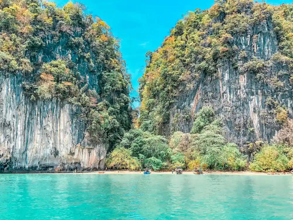
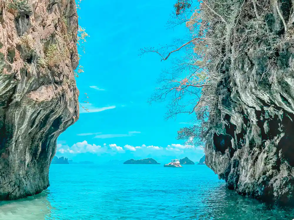
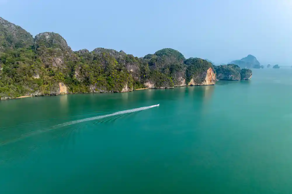
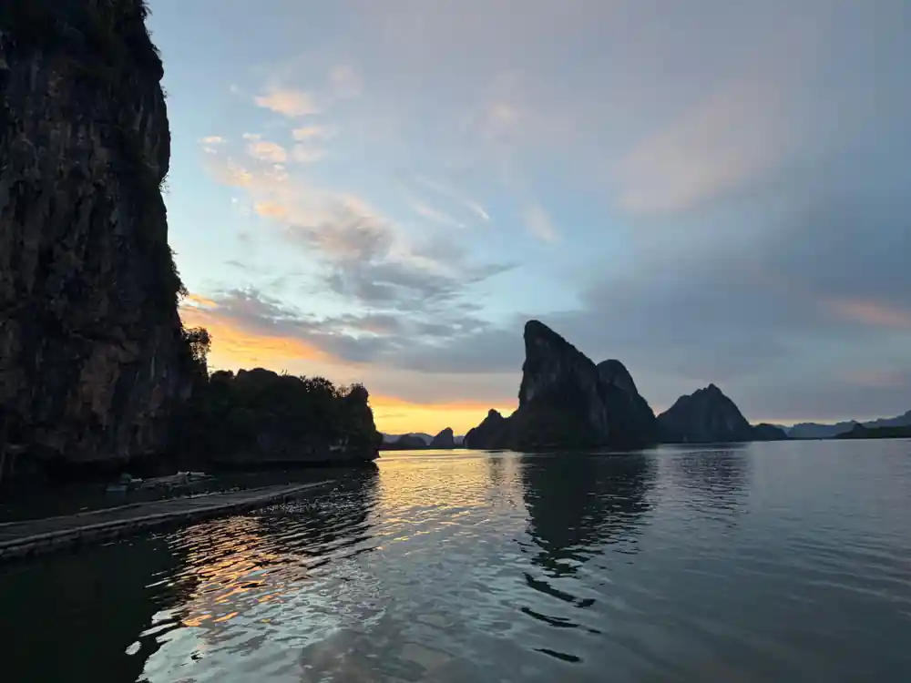
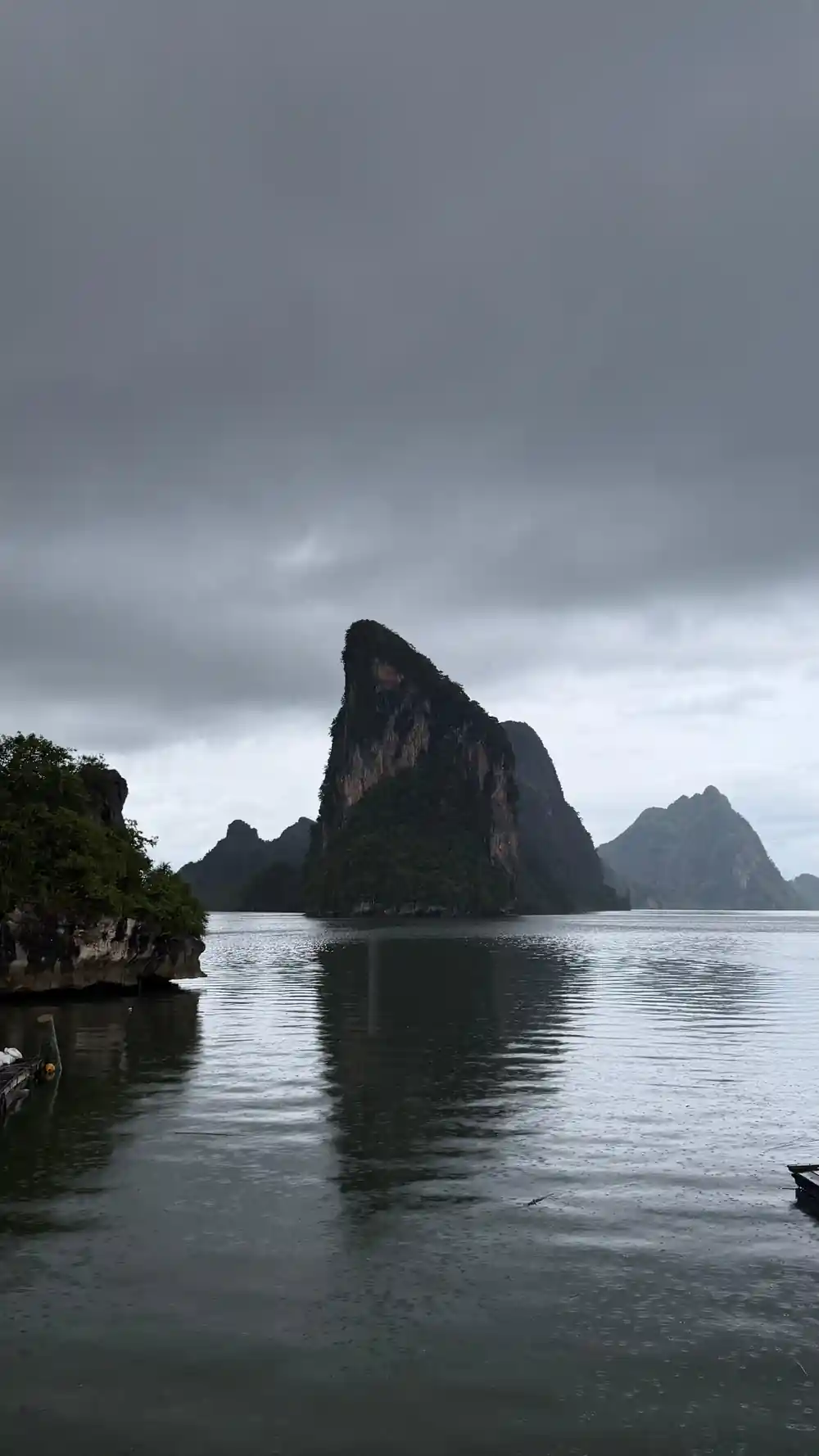
- The bay encompasses 400 square kilometers of mangroves, limestone karsts, and emerald waters in southern Thailand.
- Your national park entrance fee includes access to all five stops on this tour: lagoons, islands, and caves within the protected zone.
- Silent paddles replace motorboat engines to reduce noise pollution and protect the delicate mangrove habitats and wildlife.
- Inside the park's sea caves, stay on marked routes, respect closed areas, and follow your guide's instructions to preserve formations.
A Protected Bay Born from Conservation
Ao Phang Nga National Park was established in 1981, marking a pivotal moment in Thailand's environmental protection. The designation recognized the ecological and scenic significance of this distinctive coastal region, where limestone cliffs rise dramatically from turquoise waters and mangrove forests create a nursery for marine life. The park's creation responded to growing awareness that the bay's fragile ecosystems required legal safeguards against uncontrolled development and overexploitation. Today, the Phang nga bay national park remains one of Southeast Asia's most carefully managed marine environments, balancing conservation with sustainable tourism that allows visitors to experience its wonders.
The protected status transformed how the bay could be used and developed. Fishing practices were regulated, coastal construction was restricted, and visitor access was structured to prevent habitat degradation. This framework has allowed the bay to recover and thrive over four decades, maintaining its reputation as a destination of global importance. The establishment reflected Thailand's commitment to preserving natural heritage for future generations.
Thailand's Largest Tidal Mangrove Forest
The Phang nga bay in ao Phang nga national park contains Thailand's most extensive tidal mangrove forest, spanning thousands of hectares across the bay's intricate waterways. These salt-tolerant trees create a labyrinth of channels and stands that dominate the landscape, visible from boats and canoes throughout the region. The scale is staggering: the mangrove coverage represents one of Asia's most significant remaining tracts of this ecosystem type. During high tide, water flows deep into the forest; during low tide, the exposed mudflats and root systems become visible, revealing the forest's structural complexity.
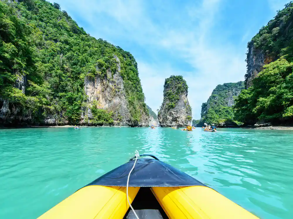
The mangroves' extent makes the bay ecologically distinct from other Thai coastal areas. Their density and health support the entire food web of the region. Visiting by canoe allows close observation of these trees at water level, where their characteristic arching and aerial root systems become apparent. The quiet approach required for canoe travel means the forest environment remains undisturbed, letting wildlife continue normal behavior even as visitors paddle through.






Why Mangrove Roots Matter to the Ecosystem
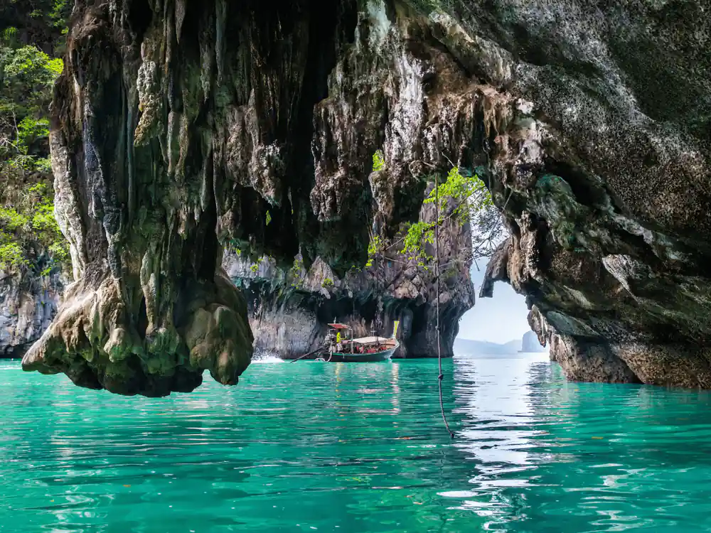
The root systems of mangrove trees function as the bay's foundation for biodiversity. Aerial roots that arch above the waterline create sheltered nurseries where juvenile fish, shrimp, and crustaceans find protection from predators. These roots slow water movement, allowing sediment to settle and nutrients to accumulate, which supports dense populations of small organisms that form the base of the food chain. The chemical processes occurring in the muddy substrate around the roots also filter water and break down organic matter, naturally purifying the bay. Without these root networks, the bay would lose both its productivity and its capacity to support the species that make it famous.
The mangrove roots also trap and store carbon, contributing to the bay's role in climate regulation. Silt and nutrients brought in by tidal action become trapped in the root matrix, building soil and preventing erosion of the shoreline. Fish and invertebrates move between the roots and open water throughout the tidal cycle, meaning the roots connect the shallow bay ecosystem to deeper offshore environments. This ecological linkage makes the mangrove forests essential to maintaining the health of the entire region.
Ko Tapu and the Pressure of Visitor Impact
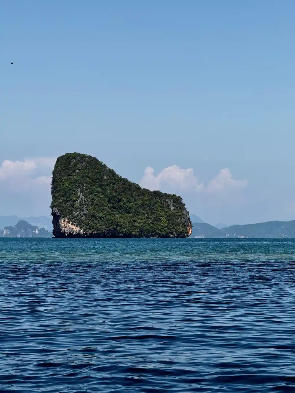
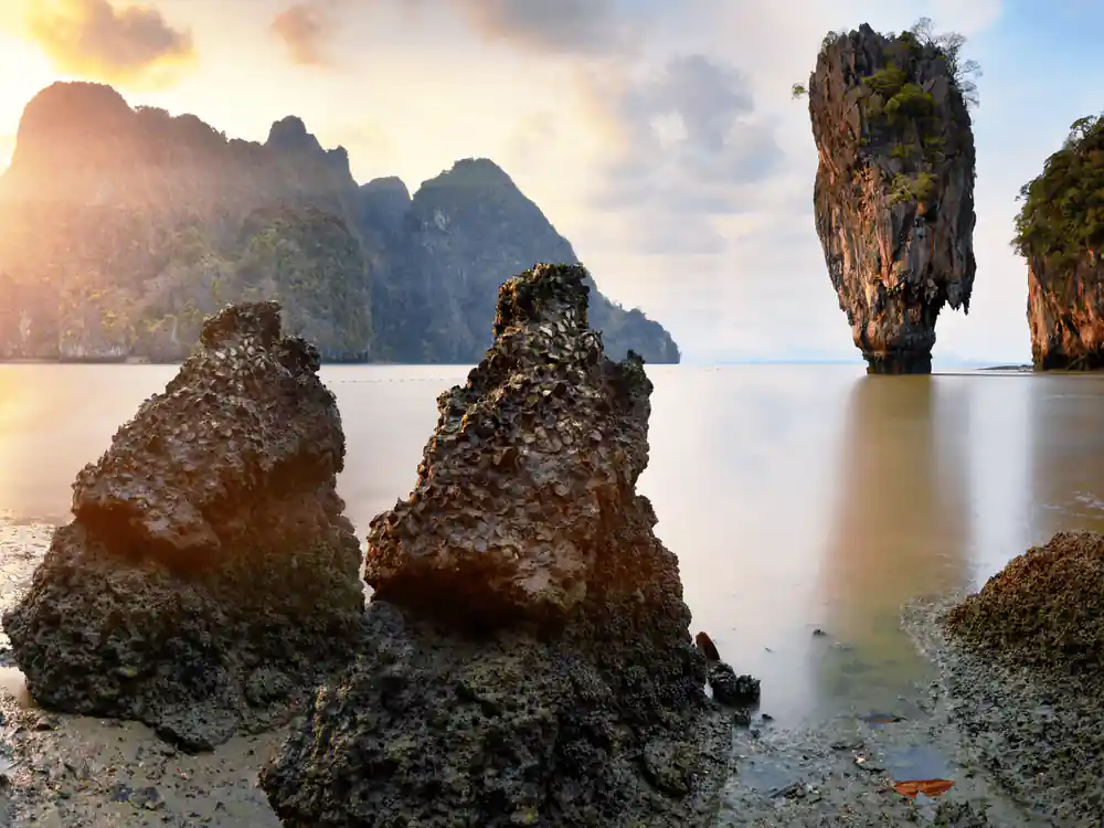
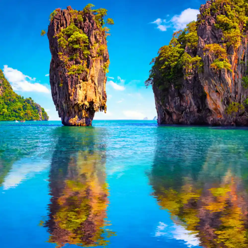
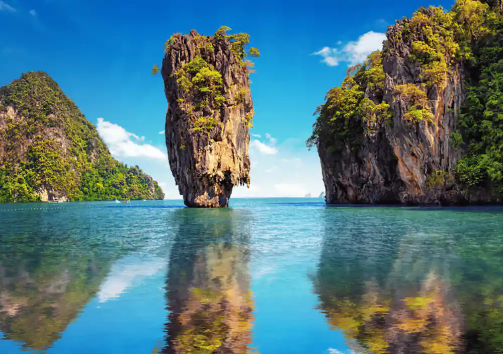
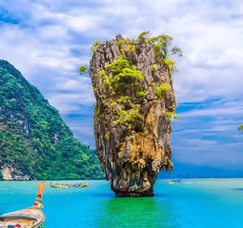
Ko Tapu, the iconic limestone pinnacle rising from the bay near James Bond Island, has become a focal point for examining erosion caused by boat traffic and visitor pressure. The rock formation, immortalized in film, attracts thousands of visits annually, with boats anchoring, speedboats passing nearby, and water disturbance increasing around its base. Scientists have documented measurable erosion of the limestone below the waterline, caused by wave action amplified by vessel traffic. The bay's management authorities now restrict how close boats may approach and limit the duration of visits to sensitive sites, attempting to balance the site's popularity with its preservation.
The erosion of Ko Tapu represents a broader challenge facing Phang nga bay national marine park: how to allow meaningful visitor access while preventing cumulative damage to geological and ecological features. The rules implemented around the site reflect lessons learned from other popular destinations where uncontrolled tourism degraded natural assets. Visitors traveling by quiet sea canoe contribute far less disturbance than speedboat traffic, which is why the tour structure emphasizes paddled exploration rather than engine-powered navigation through sensitive areas.
400
Ao Phang Nga protects about 400 square kilometres of bay, islands and shore, holding Thailand's largest remaining mangrove forest.
Cave Rules and Wildlife Protection Inside the Park
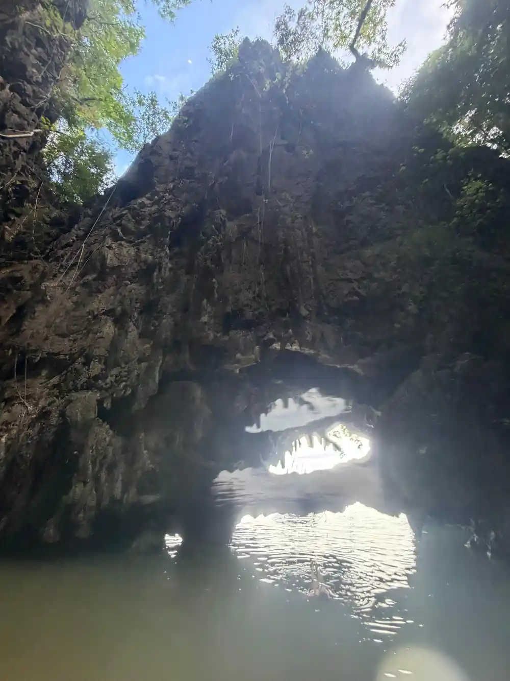
Several caves within the bay provide shelter to nesting seabirds, roosting bats, and unique rock formations that attract visitors. Park regulations strictly govern behavior inside these caves to protect the wildlife that depends on them. Visitors must remain silent or near-silent to avoid startling birds and bats, whose stress responses can damage nests and interfere with breeding cycles. Flash photography is prohibited, and touching cave walls is discouraged, as oils from skin can harm delicate mineral formations and disturb organisms living on the rock surfaces. Guides provide interpretation about cave ecology and enforce these rules to ensure each visit minimizes disturbance.
The cave regulations extend to preventing litter and contamination. Caves are sensitive environments where human refuse breaks down slowly, and waste can poison the groundwater that feeds the cave ecosystem. Some caves are closed seasonally during critical breeding periods, ensuring that visitors do not interfere with nesting birds during vulnerable stages. These protective measures reflect the understanding that caves are not merely scenic attractions but living habitats that require careful stewardship.
Why Sea Canoes Replace Engine-Powered Boats
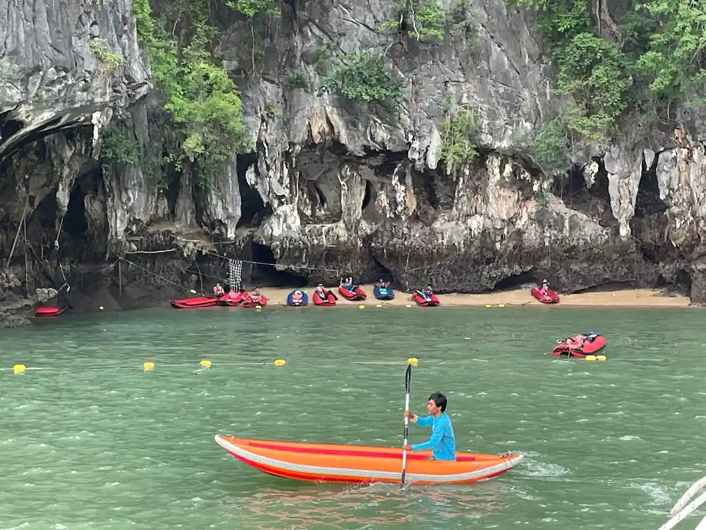
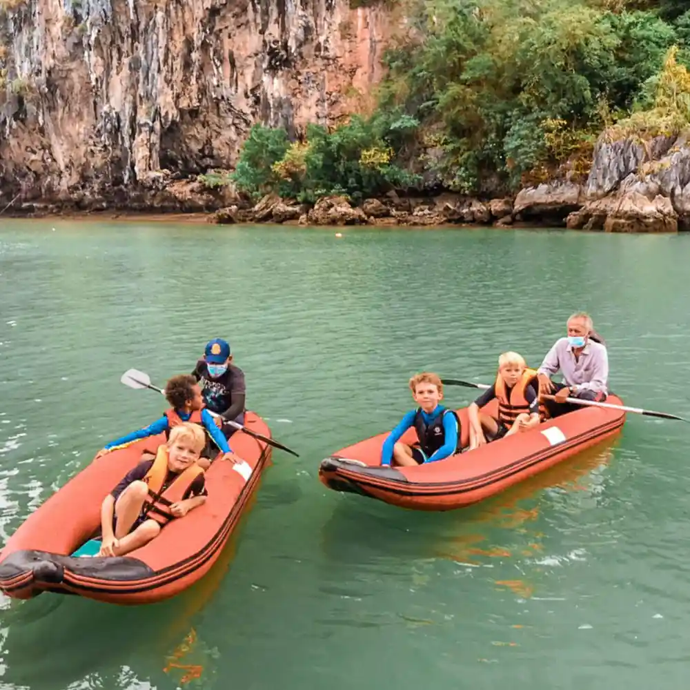
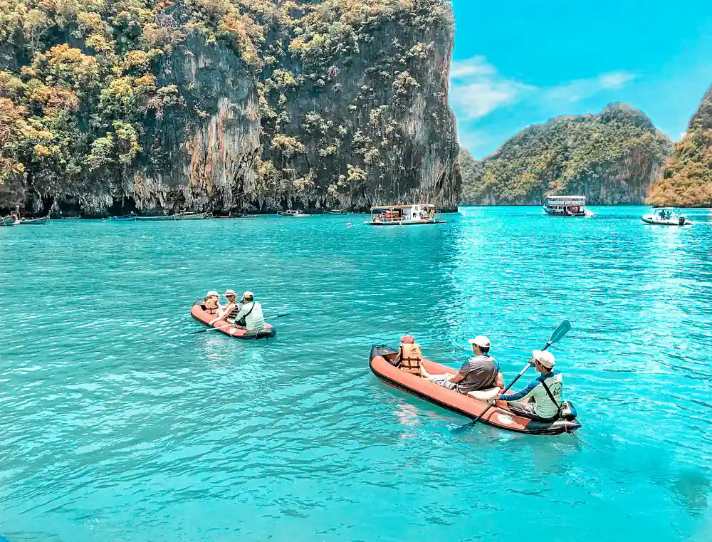
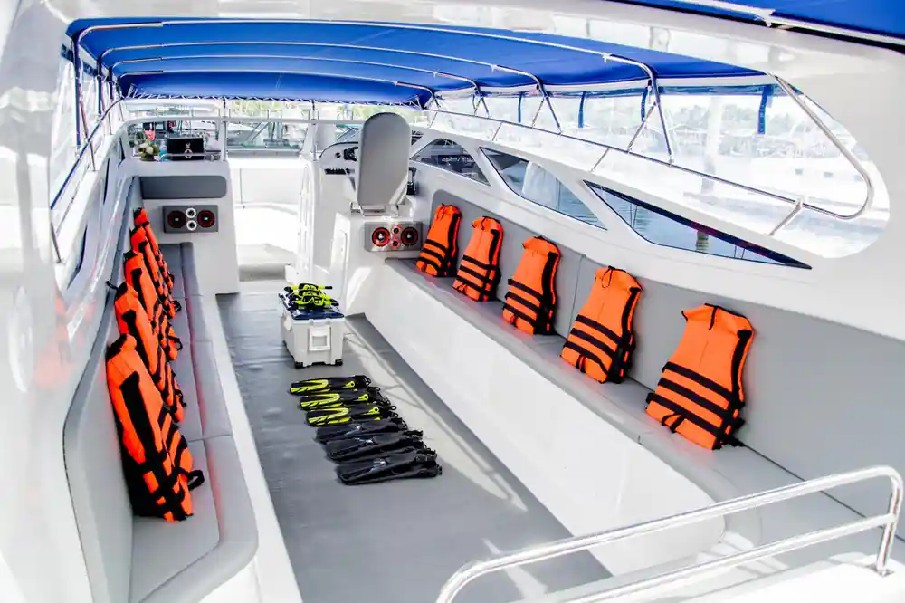
The switch to silent sea canoes at each island, once the speedboat has done the crossing, reflects a deliberate conservation strategy across a bay protected as a Ramsar wetland. Engine noise disrupts marine mammal communication, damages the sensory environment that fish use to navigate and hunt, and contributes to stress in bird populations. The vibrations from boat motors also increase water turbulence, which degrades water quality and disturbs sediment on the seafloor. By paddling instead of motoring, visitors experience the bay at a pace that allows genuine observation while leaving the acoustic and physical environment intact. The canoes glide silently past mangrove stands and under limestone overhangs, allowing birds to continue singing and fish to remain unbothered.
Canoes also require shallower water navigation, enabling exploration of areas that speedboats cannot reach without disturbing seagrass beds and shallow-water fish nurseries. The reduced speed means visitors have time to observe wildlife, plants, and geological features in detail rather than passing in a blur. This approach transforms the tour from a high-speed sightseeing run into an immersive exploration of the ecosystem. The quiet passage through the bay demonstrates that slower, lower-impact tourism can be more rewarding for visitors while delivering genuine protection to the natural environment.
Planning Your Visit to Preserve the Bay
A visit to Phang nga bay national park represents a choice to participate in sustainable tourism. The 8-hour tour structure allows adequate time to explore multiple locations, including Panak Island, Ko Hong, and James Bond Island, while distributing visitor impact across different areas of the bay rather than concentrating pressure in one zone. The inclusion of a multilingual guide ensures that visitors understand the ecological significance of what they are seeing and grasp the reasoning behind the conservation rules they will encounter. Respecting cave regulations, following guide instructions about approach distances, and maintaining silence in sensitive areas directly contributes to the bay's long-term health.
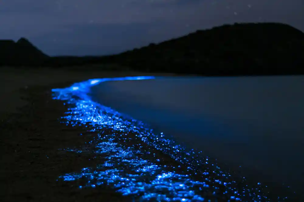
The experience of traveling by sea canoe through mangrove channels and seeing nocturnal bioluminescent plankton creates a direct connection between visitor and ecosystem. This intimate encounter often transforms how people understand the value of coastal conservation. By choosing a tour that prioritizes these quiet, low-impact methods, you support the business model that makes protection economically viable for local communities. Your participation in this structured, respectful approach helps ensure that future visitors will encounter the same pristine bay, thriving mangrove forests, and wildlife populations that make the region extraordinary.
Experience the bay by silent canoe
from US$89Reserve now & pay later