At a glance
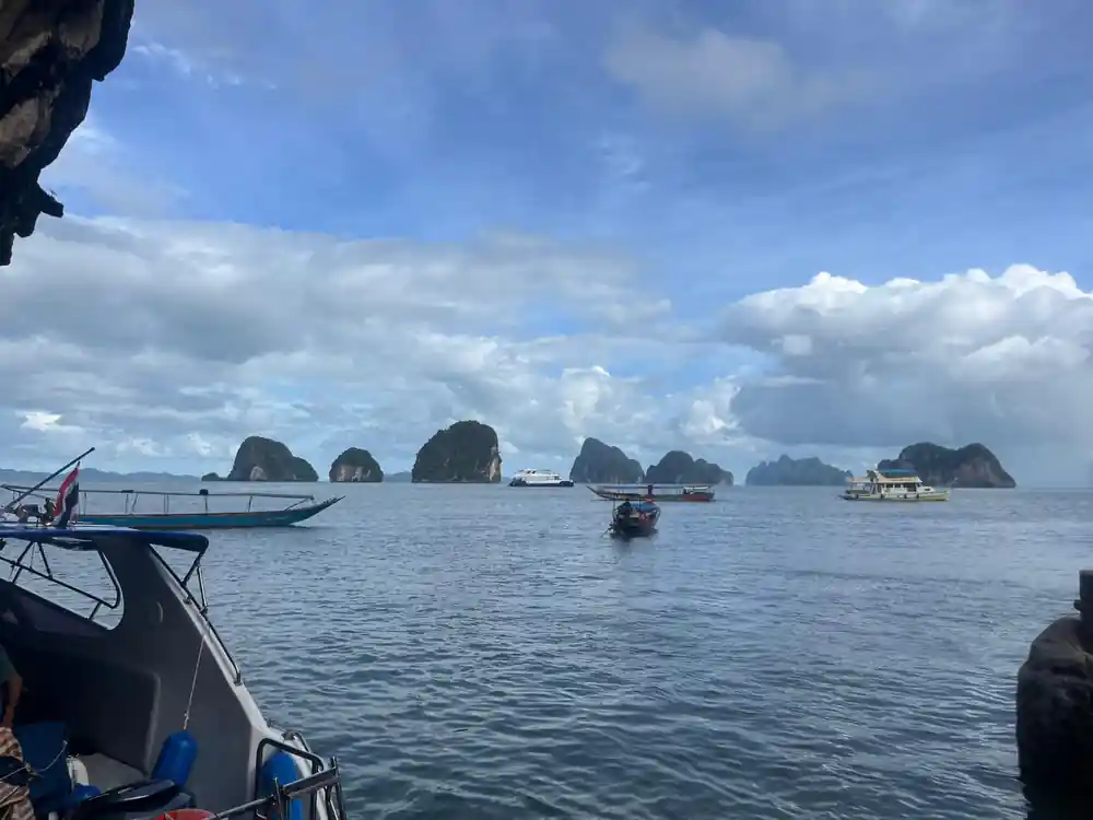
- Phang Nga is pronounced 'pahng ngah.' The name refers to this stunning limestone bay on Thailand's Andaman coast, a destination known worldwide for its dramatic karst landscape.
- Prehistoric cliff paintings decorate cave walls throughout the bay, with some rock art estimated at over 3,000 years old, offering glimpses into the area's earliest human inhabitants.
- Sea nomads known as the Moken have lived on the Andaman waters for centuries, traditionally navigating by boat and harvesting from the sea in a lifestyle deeply tied to these waters.
- Phang Nga Bay earned protection as a national park, preserving its ecosystems and islands while allowing visitors to experience one of Southeast Asia's most iconic natural landscapes.
- Local fishermen hold deep beliefs about the karst islands dotting the bay, viewing them as sacred places shaped by generations of cultural tradition and spiritual significance.
The Name and Meaning of Phang Nga
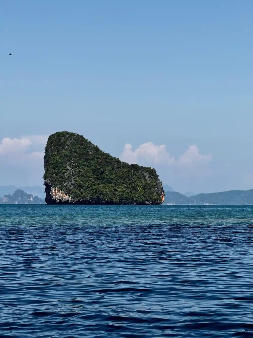
Phang Nga Bay pronunciation begins with the Thai word 'Phang' (พัง), meaning 'a cavity or hollow,' and 'Nga' (งา), which refers to tusk. Together, the name describes the dramatic landscape of the region: towering limestone karsts that rise like tusks from the water. This apt description has defined the geography of Phang Nga Province Thailand for centuries, long before the bay became a destination for international travelers. Local people have always understood the landscape through this poetic naming convention, which reflects how intimately tied language is to the physical world.
The correct Phang nga bay pronunciation emphasizes the tonal qualities of Thai speech, with 'Phang' spoken in a high tone and 'Nga' in a rising tone. Visitors who learn this proper pronunciation show respect for the place and its cultural roots. The bay's name encapsulates the geological story written into its terrain: millions of years of erosion and limestone dissolution have carved out the distinctive formations that make the bay one of Southeast Asia's most recognizable landscapes.
Ancient Painters and the Cliff Art
The limestone cliffs of Phang Nga Bay hold secrets painted thousands of years ago. Prehistoric cliff paintings scattered across the bay's rock faces depict human hands, boats, and animals, created by hunter-gatherers who lived along the Andaman coast long before recorded history. These handprints and simple figurative designs were made using natural pigments, likely ochre and charcoal mixed with organic binders. The images suggest a sophisticated culture that hunted, fished, and traveled by water, leaving behind visual records of their daily existence.
Dating these artworks precisely remains challenging for archaeologists, but evidence suggests some paintings date back 4,000 to 5,000 years, placing them among Southeast Asia's oldest surviving art. The subjects of the cliff art reveal what mattered to ancient communities: hunting expeditions depicted with weapons and prey animals, boats that demonstrate their maritime skills, and human figures arranged in what may represent ritual or ceremonial scenes. The locations of these paintings, often in caves accessible only by boat or at significant heights on cliff faces, suggest they held spiritual or cultural importance beyond simple documentation.
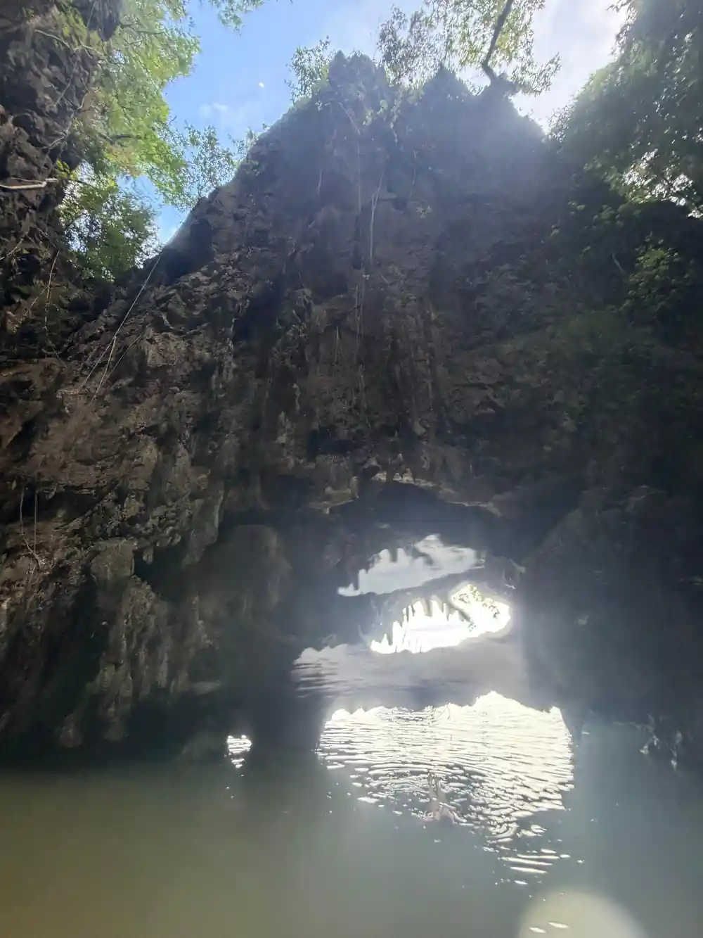
Ancient ochre handprints mark the limestone cliffs of Phang Nga Bay
The Moken: Sea Nomads of the Andaman Coast
The Moken people represent one of the world's last maritime hunter-gatherer cultures, inhabiting the waters and coastlines of the Andaman Sea for at least 400 years, and possibly much longer. These sea nomads, also called sea gypsies, traditionally lived almost entirely on wooden houseboats called kabang, moving between Thailand, Myanmar and Malaysia in search of food and shelter. The Moken developed extraordinary diving abilities, with trained individuals capable of reaching depths of 40 meters to collect sea cucumbers, shells, and other marine resources. Moken children learn to see clearly underwater by constricting the pupil and reshaping the lens, a skill researchers later taught to European children in a matter of weeks.
Moken communities maintained a complex knowledge system about marine life, weather patterns, and seasonal movements that allowed them to thrive in a challenging environment. They speak their own language, practice distinct cultural traditions, and possess deep spiritual beliefs connected to the sea. Today, roughly 3,000 to 5,000 Moken live in settlements scattered along the coasts, though fewer young people continue traditional maritime practices as modernization and restrictions on marine resource extraction reshape their way of life. Tourism and national park designations have both aided and complicated Moken existence, bringing economic opportunity alongside pressure to abandon traditional livelihoods.
Floating Villages and Life on the Water
Throughout Phang Nga Bay, floating communities represent adaptation and resilience, with families living in wooden houses built directly on the water or anchored to mangrove roots. These settlements, home to Muslim-Malay and Thai-Moken populations, developed historical roots in maritime trade and fishing economies. Daily life revolves entirely around water-based routines: children learn to navigate boats before walking on land, fishing and aquaculture form the economic foundation, and movement between houses happens by small rowboat or swim. The floating villages maintain strong social structures despite their scattered geography, with networks connecting families across multiple settlements.
Traditional floating village architecture shows ingenious adaptation to the bay environment. Houses feature wooden platforms, thatched roofs in older structures or corrugated metal in newer ones, and are often connected by rope bridges and narrow wooden walkways. Fish traps, nets, and aquaculture pens surround the homes, representing both food security and income sources. Modern challenges including water pollution, climate change, tourism pressure, and restrictive fishing regulations have forced adaptation and migration. Yet many floating communities persist, balancing traditional practices with contemporary needs, drawing fresh water from wells and educating children through floating schools.
4,000
The rock art adorning Phang Nga's cliffs dates back over 4,000 years, a testament to ancient maritime cultures.
National Park Designation and Protection
In 1981, Thailand established Phang Nga Bay as a national marine park, formally recognizing the area's ecological significance and unique geological features. The designation aimed to protect the bay's distinctive limestone karsts, mangrove forests, coral reefs, and abundant marine life from uncontrolled development and resource extraction. The park encompasses approximately 400 square kilometers and includes over 40 islands of varying sizes, each with distinct characteristics. National park status brought infrastructure development, conservation programs, and regulations governing human activities, though implementation has proven complex given the diverse communities and competing economic interests within the bay.
Park authorities worked to balance conservation with the needs of local fishers, Moken communities, and emerging tourism. Certain areas became restricted to protect breeding grounds and sensitive ecosystems, while tourism access was channeled to sustainable levels in designated zones. The establishment of park fees and permit systems generated revenue for management and conservation work. Environmental education programs brought awareness of the bay's ecological value to both local residents and visitors. Despite these efforts, ongoing challenges including illegal fishing, waste management, and climate-related threats continue to test the park's capacity to protect the bay while allowing human use and economic activity.
Local Beliefs and Island Legends
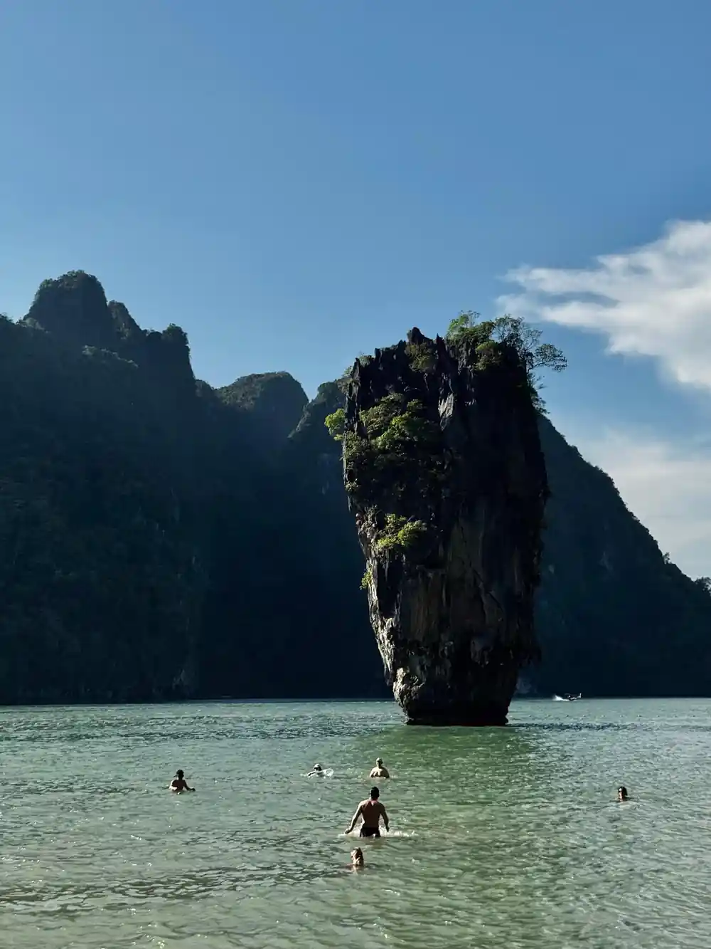
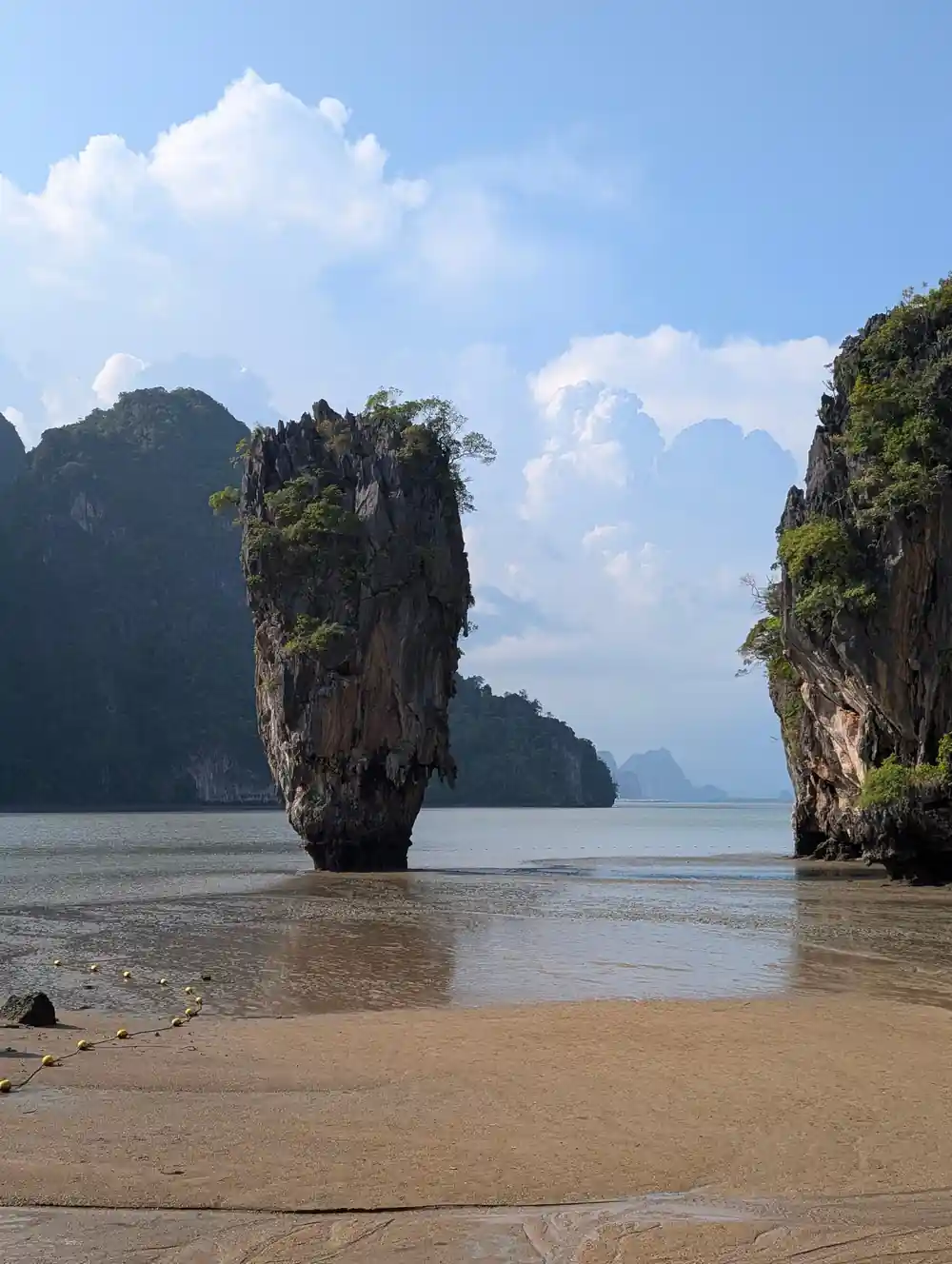
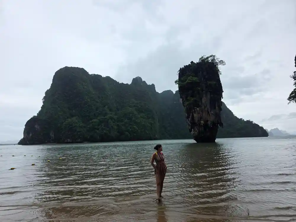
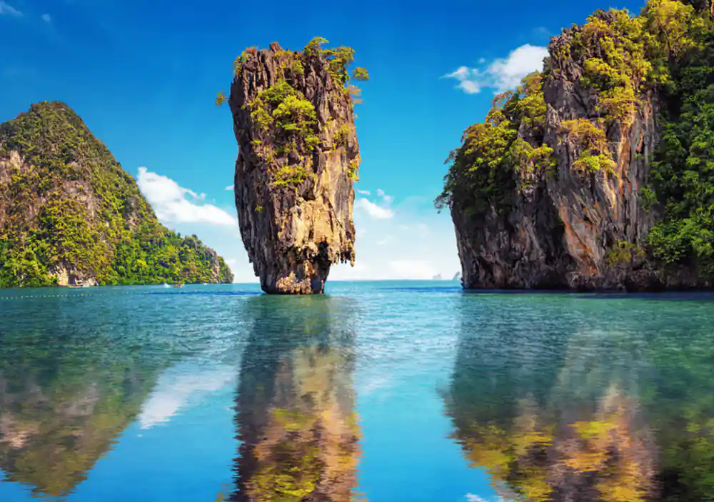
Fishermen and residents of Phang Nga Province Thailand maintain deep spiritual connections to the bay's islands and waters, expressed through beliefs about protective spirits, sacred sites, and traditional taboos. Many limestone karsts are believed to house spirits or possess supernatural significance, leading locals to make offerings and avoid certain areas during particular times. The distinctive James Bond Island, formally known as Tapu (Forbidden Island), earned its informal name from tourism but held spiritual meaning long before film crews arrived. Local fishermen traditionally avoided landing on some islands or observed rituals before entering particular waters, practices rooted in generations of observation and cultural transmission.
These beliefs serve practical ecological functions, effectively protecting certain areas from overexploitation through spiritual prohibition. Sacred caves, burial sites, and spirit houses scattered across the bay reflect the religious landscape that coexists with the physical geography. Stories about phantom boats, protective sea spirits, and encounters with supernatural forces remain part of oral tradition, passed down through families and communities. Modern tourism has created tension between traditional spiritual practices and commercial interests, with some sacred sites now incorporated into tour itineraries in ways that locals find inappropriate. Yet many communities continue maintaining their beliefs and practices, asserting cultural identity and environmental stewardship through spiritual frameworks.
How Tourism Transformed the Bay
Tourism arrival in Phang Nga Bay accelerated dramatically after the 1974 release of 'The Man with the Golden Gun,' which featured the distinctive island formations. What had been a remote, relatively inaccessible region became a major destination, with boat operators, resort developers, and service businesses expanding rapidly from the 1990s onward. The influx of visitors brought employment, foreign investment, and economic growth that transformed local economies. Young people found work as guides, boat operators, and hospitality staff, creating new income sources beyond traditional fishing and subsistence activities. Towns like Phang Nga and Krabi developed tourism infrastructure including hotels, restaurants, and shops catering to international visitors.
This transformation brought both opportunities and challenges to the bay's communities and ecosystems. Increased boat traffic generated pollution and disturbed marine life and nesting birds. Waste management systems proved inadequate for the volume of visitors, and water quality degraded in some areas. Traditional fishing communities found themselves displaced or marginalized as tourism operations claimed prime locations and resources. The Moken and other sea-based communities faced pressure to perform cultural displays for tourists rather than continue traditional practices, commodifying their heritage while limiting economic benefit. Yet tourism revenue also supported conservation efforts, funded education and healthcare in remote areas, and created economic alternatives that reduced fishing pressure on depleted stocks. The bay today represents a complex negotiation between preservation and development, tradition and modernity, local needs and international interest.
Paddle past ancient rock art in your own canoe
from US$89Reserve now & pay later